We’re lucky to have some great half-day and full-day circular walks taking in stretches of The Ridgeway on our doorstep. The one we have chosen for this issue is from the Chilterns Country Views of the Vale collection. START/END: Wendover Railway Station, Grid Reference: SP849067 DISTANCE: 7 miles, allow 3½ to 4 hours TERRAIN: Uphill […]
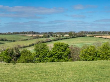
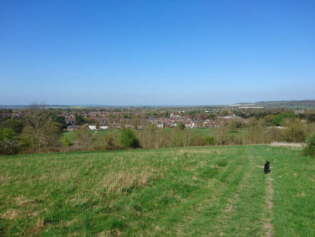
This stile-free walk offers some great views over Berkhamsted from Ashridge as well as fields, valleys and woodland. START/END: Berkhamsted Railway Station, Station Approach, Berkhamsted HP4 2AR DISTANCE: 5 miles MAPS: OS Explorer 181, Chiltern Society 17 & 20 TERRAIN: Easy stile-free walking on level paths with three uphill sections PARKING: Berkhamsted Railway Station and […]
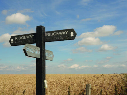
This walk initially follows the ancient Ridgeway with stunning views from the top of Pitstone Hill before returning through the beautiful woodland of the National Trust’s Ashridge Estate. START/END: Tring Railway Station, Station Road, Tring HP23 5QR Grid ref: SP 950122. An alternative start point is the National Trust Ashridge Estate Visitor Centre car park. […]
This walk is called ‘The Devil’s Own Footsteps’ and is a 4.3 mile linear walk starting at Berkhamsted Railway Station and ending at Bovingdon Memorial Hall. START: Berkhamsted Railway Station. END: Bovingdon Memorial Hall DISTANCE: Approximately 4.3 miles (7km) MAPS: OS Explorer 181, Chiltern Society Footpath Map No19, Berkhamsted Citizens Association Footpath Map You can […]
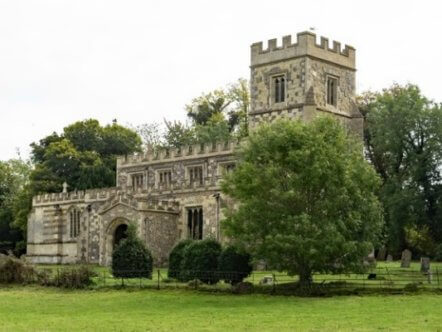
This is one of the walks recommended by Tring Town Council, and takes in Drayton Beauchamp and the surrounding countryside. START/END: At the car park behind Dolphin Square. Marked (1) on the map. DISTANCE: Approximately 4.5 miles (7.5km) MAP: Ordnance Survey Explorer 181 Chiltern Hills North You can download Tring Town Council’s full description and […]
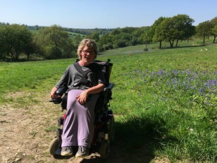
This issue our walk is at Ashridge and it’s our first fully accessible walk. Our thanks to Katy Etherington for her write up. Duncombe Terrace is situated within the National Trust Estate of Ashridge. It offers a wheelchair, scooter and bike-friendly trail through an ancient wildlife-rich woodland, alongside open common with fabulous views across chalk […]
This is the sixth in our series of dog-friendly local walks. With thanks to George Edwards as always for his wonderful detailed walk. The walk starts at Wigginton Greyhound pub (ask permission first if leaving your car in their car park) or Wigginton Community Shop, where there is free parking. The walk uses part of […]
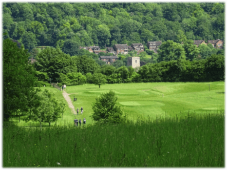
This is the fifth in our series of dog-friendly local walks. Thank you to George Edwards for producing for us another fine walk around the area in which we live and work. This one starts in the centre of Berkhamsted. The walk climbs steeply towards Kingshill Way, crosses underneath the A41, before crossing back over at […]
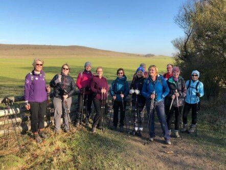
As part of the Tring Spring Fayre, Ridgeway Nordic Walking are offering free taster sessions on Saturday 26 April at 2pm and Thursday 2 May at 11am. Nordic walking is a fabulous way to get or stay active and it’s suitable for everyone, from top athlete to senior citizen. The group will meet at the […]
Here’s the fourth in our series of dog-friendly local walks. This one starts at the highest point in Hertfordshire (801ft or 244m) in Pavis Woods, Hastoe. It’s 3.2 miles or 5.1km long or, for the energetic, an additional 3.5 miles or 5.7 km from Tring. START: At the entry to Pavis, Black and Northill Woods […]
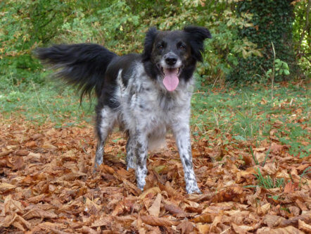
Here’s the third in our new series of dog-friendly local walks. ‘This walk is dedicated to Meg (pictured, 2004-2018), our loyal Collie rescue dog, who gave us so much pleasure on our walks over the years.’ – George Edwards. START: National Trust car park (free) Ivinghoe Beacon (Beacon Road), OS grid reference SP963 159 ENDS: National […]
Here’s the second in our new series of dog-friendly local walks START: Layby, Northfield Road, Tring or Tring Station or Aldbury Village ENDS: Layby, Northfield Road, Tring or Tring Station or Aldbury Village DISTANCE: 4.2 miles (7km) ASCENT: Around 152m (500 feet) MAP: Ordnance Survey Explorer 181 This is a circular walk along part of The Ridgeway and through the picturesque village of […]